
Yuquot topographic map
Interactive map
Click on the map to display elevation.
About this map
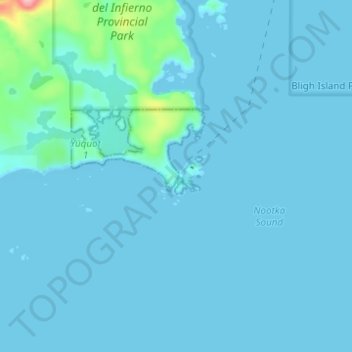
Name: Yuquot topographic map, elevation, terrain.
Location: Yuquot, British Columbia, Canada (49.57177 -126.63865 49.61177 -126.59865)
Average elevation: 9 m
Minimum elevation: -2 m
Maximum elevation: 135 m