
Hawkestone topographic map
Interactive map
Click on the map to display elevation.
About this map
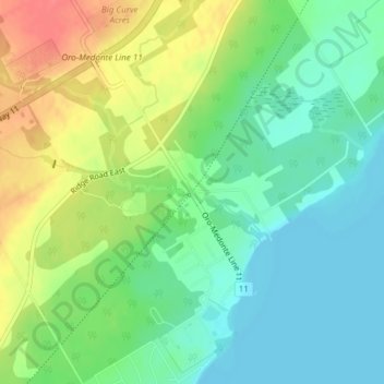
Name: Hawkestone topographic map, elevation, terrain.
Average elevation: 240 m
Minimum elevation: 216 m
Maximum elevation: 279 m
Other topographic maps
Click on a map to view its topography, its elevation and its terrain.
Sturgeon River
Canada > Ontario > Oro-Medonte
Sturgeon River, Oro-Medonte, Simcoe County, Ontario, Canada
Average elevation: 255 m