
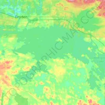
Wabigoon Lake topographic map
Interactive map
Click on the map to display elevation.
About this map
Name: Wabigoon Lake topographic map, elevation, terrain.
Average elevation: 381 m
Minimum elevation: 354 m
Maximum elevation: 451 m
Other topographic maps
Click on a map to view its topography, its elevation and its terrain.
Wabigoon River
Wabigoon River, Dryden, Kenora District, Ontario, Canada
Average elevation: 376 m