
Tantallon topographic map
Interactive map
Click on the map to display elevation.
About this map
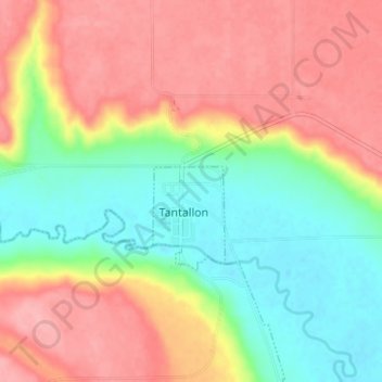
Name: Tantallon topographic map, elevation, terrain.
Location: Tantallon, Saskatchewan, Canada (50.51858 -101.86035 50.55858 -101.82035)
Average elevation: 469 m
Minimum elevation: 415 m
Maximum elevation: 521 m