
Narbethong topographic map
Interactive map
Click on the map to display elevation.
About this map
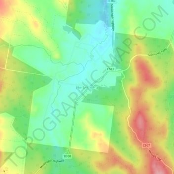
Name: Narbethong topographic map, elevation, terrain.
Location: Narbethong, Shire of Murrindindi, Victoria, Australia (-37.56746 145.64283 -37.52746 145.68283)
Average elevation: 356 m
Minimum elevation: 302 m
Maximum elevation: 434 m