
K'Anat topographic map
Interactive map
Click on the map to display elevation.
About this map
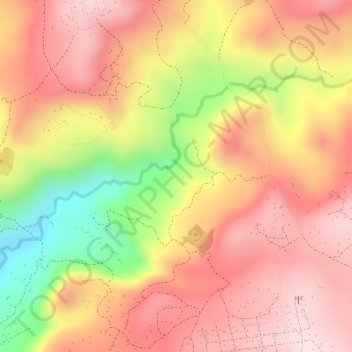
Name: K'Anat topographic map, elevation, terrain.
Location: K'Anat, Debre Tabor, South Gonder, Amhara Region, Ethiopia (11.80667 38.02333 11.82667 38.04333)
Average elevation: 2,511 m
Minimum elevation: 2,252 m
Maximum elevation: 2,652 m