
Shurugwi topographic map
Interactive map
Click on the map to display elevation.
About this map
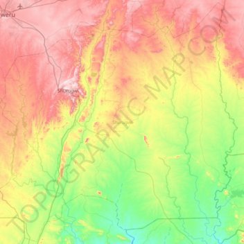
Name: Shurugwi topographic map, elevation, terrain.
Location: Shurugwi, Midlands Province, Zimbabwe (-20.07842 29.78543 -19.42935 30.48827)
Average elevation: 1,182 m
Minimum elevation: 921 m
Maximum elevation: 1,557 m