
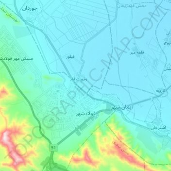
FuladShahr topographic map
Interactive map
Click on the map to display elevation.
About this map
Name: FuladShahr topographic map, elevation, terrain.
Location: FuladShahr, بخش مرکزی, Lenjan County, Isfahan Province, Iran (32.44361 51.32030 32.56182 51.44181)
Average elevation: 1,710 m
Minimum elevation: 1,609 m
Maximum elevation: 2,377 m