
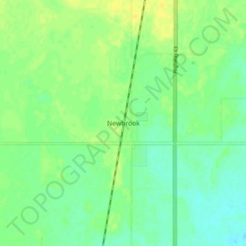
Newbrook topographic map
Interactive map
Click on the map to display elevation.
About this map
Name: Newbrook topographic map, elevation, terrain.
Location: Newbrook, Thorhild County, Alberta, Canada (54.30944 -112.97306 54.34944 -112.93306)
Average elevation: 671 m
Minimum elevation: 662 m
Maximum elevation: 680 m