
Seguin Drain topographic map
Interactive map
Click on the map to display elevation.
About this map
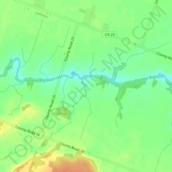
Name: Seguin Drain topographic map, elevation, terrain.
Average elevation: 65 m
Minimum elevation: 48 m
Maximum elevation: 86 m
Other topographic maps
Click on a map to view its topography, its elevation and its terrain.
McDougall Drain
Canada > Ontario > East Hawkesbury
McDougall Drain, East Hawkesbury, Prescott and Russell Counties, Ontario, Canada
Average elevation: 69 m