
Chester topographic map
Interactive map
Click on the map to display elevation.
About this map
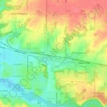
Name: Chester topographic map, elevation, terrain.
Location: Chester, Olmsted County, Minnesota, United States of America (43.98630 -92.36535 44.02630 -92.32535)
Average elevation: 360 m
Minimum elevation: 323 m
Maximum elevation: 397 m