
Kennebecasis River topographic map
Interactive map
Click on the map to display elevation.
About this map
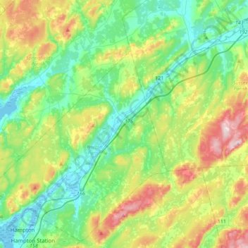
Name: Kennebecasis River topographic map, elevation, terrain.
Average elevation: 110 m
Minimum elevation: -4 m
Maximum elevation: 359 m
Other topographic maps
Click on a map to view its topography, its elevation and its terrain.
Norton
Canada > New Brunswick > Kings County > Norton
Norton, Norton Parish, Kings County, New Brunswick, Canada
Average elevation: 87 m