
Cocoa topographic map
Interactive map
Click on the map to display elevation.
About this map
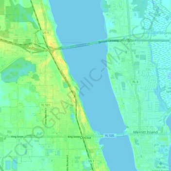
Name: Cocoa topographic map, elevation, terrain.
Average elevation: 6 m
Minimum elevation: -2 m
Maximum elevation: 22 m
Other topographic maps
Click on a map to view its topography, its elevation and its terrain.
Sharpes
United States of America > Florida > Cocoa
Sharpes, Highpoint Drive, Cocoa, Brevard County, Florida, 32922, United States of America
Average elevation: 5 m