
Beaver Island topographic map
Interactive map
Click on the map to display elevation.
About this map
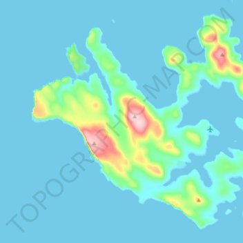
Name: Beaver Island topographic map, elevation, terrain.
Location: Beaver Island, Falkland Islands (-51.87863 -61.34800 -51.79528 -61.19575)
Average elevation: 24 m
Minimum elevation: -1 m
Maximum elevation: 238 m
Other topographic maps
Click on a map to view its topography, its elevation and its terrain.