
Fort Lee topographic map
Interactive map
Click on the map to display elevation.
About this map
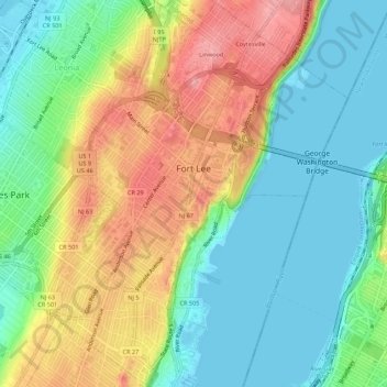
Name: Fort Lee topographic map, elevation, terrain.
Location: Fort Lee, Bergen County, New Jersey, USA (40.82760 -73.99133 40.86890 -73.94839)
Average elevation: 45 m
Minimum elevation: -1 m
Maximum elevation: 117 m