
Oliphant topographic map
Interactive map
Click on the map to display elevation.
About this map
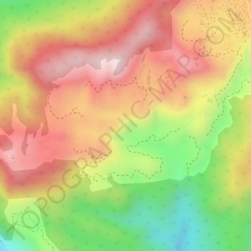
Name: Oliphant topographic map, elevation, terrain.
Average elevation: 2,000 m
Minimum elevation: 1,761 m
Maximum elevation: 2,171 m
Other topographic maps
Click on a map to view its topography, its elevation and its terrain.
Katumana
Sri Lanka > Central Province > Nuwara Eliya
Katumana, Nuwara Eliya, Nuwara Eliya District, Central Province, 22200, Sri Lanka
Average elevation: 1,874 m