
Credit River topographic map
Interactive map
Click on the map to display elevation.
About this map
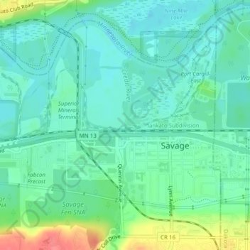
Name: Credit River topographic map, elevation, terrain.
Location: Credit River, Savage, Scott County, Minnesota, 55378, USA (44.77921 -93.34323 44.78092 -93.34298)
Average elevation: 224 m
Minimum elevation: 206 m
Maximum elevation: 274 m