
Pasuruan topographic map
Interactive map
Click on the map to display elevation.
About this map
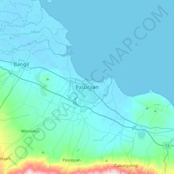
Name: Pasuruan topographic map, elevation, terrain.
Location: Pasuruan, East Java, 67114, Indonesia (-7.80199 112.74669 -7.48199 113.06669)
Average elevation: 44 m
Minimum elevation: -3 m
Maximum elevation: 497 m