
Hillsburgh topographic map
Interactive map
Click on the map to display elevation.
About this map
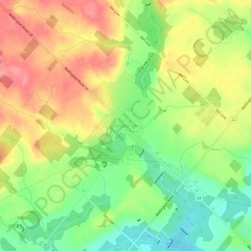
Name: Hillsburgh topographic map, elevation, terrain.
Average elevation: 449 m
Minimum elevation: 404 m
Maximum elevation: 494 m
Other topographic maps
Click on a map to view its topography, its elevation and its terrain.
Ballinafad
Canada > Ontario > Wellington County > Erin
Ballinafad, Erin, Wellington County, Ontario, N0B 1H0, Canada
Average elevation: 374 m