
Greenhills topographic map
Interactive map
Click on the map to display elevation.
About this map
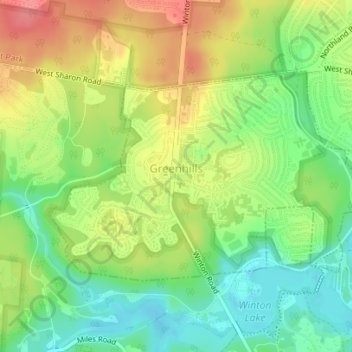
Name: Greenhills topographic map, elevation, terrain.
Location: Greenhills, Hamilton County, Ohio, United States (39.25946 -84.53545 39.27561 -84.50215)
Average elevation: 238 m
Minimum elevation: 204 m
Maximum elevation: 278 m