
Treadwell topographic map
Interactive map
Click on the map to display elevation.
About this map
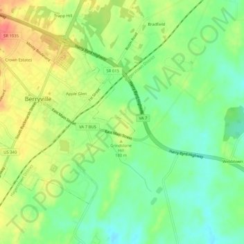
Name: Treadwell topographic map, elevation, terrain.
Location: Treadwell, Clarke County, Virginia, 22611, United States (39.12788 -77.98472 39.16788 -77.94472)
Average elevation: 171 m
Minimum elevation: 145 m
Maximum elevation: 203 m