
Ighram topographic map
Interactive map
Click on the map to display elevation.
About this map
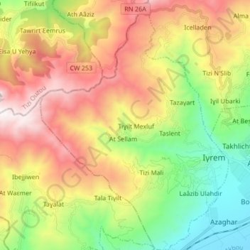
Name: Ighram topographic map, elevation, terrain.
Location: Ighram, Akbou District, Bejaia, 06057, Algeria (36.42206 4.41075 36.53009 4.51201)
Average elevation: 924 m
Minimum elevation: 178 m
Maximum elevation: 1,862 m