
Harding River topographic map
Interactive map
Click on the map to display elevation.
About this map
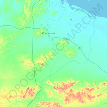
Name: Harding River topographic map, elevation, terrain.
Average elevation: 38 m
Minimum elevation: -1 m
Maximum elevation: 196 m
Other topographic maps
Click on a map to view its topography, its elevation and its terrain.
Karratha
Australia > Western Australia > Karratha
Karratha, Western Australia, 6714, Australia
Average elevation: 19 m