
La District topographic map
Interactive map
Click on the map to display elevation.
About this map
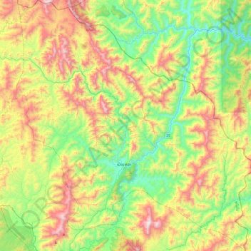
Name: La District topographic map, elevation, terrain.
Location: La District, Oudomxay, Laos (20.71737 101.91756 21.15467 102.35779)
Average elevation: 853 m
Minimum elevation: 386 m
Maximum elevation: 1,614 m
Other topographic maps
Click on a map to view its topography, its elevation and its terrain.
ບ້ານ ໜອງແມງດາ
Laos > Oudomxay > Xay District
ບ້ານ ໜອງແມງດາ, Xay District, Oudomxay, Laos
Average elevation: 659 m