
Belwood topographic map
Interactive map
Click on the map to display elevation.
About this map
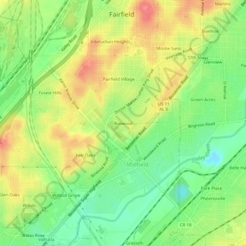
Name: Belwood topographic map, elevation, terrain.
Location: Belwood, Jefferson County, Alabama, 35064, USA (33.44816 -86.93166 33.48816 -86.89166)
Average elevation: 173 m
Minimum elevation: 131 m
Maximum elevation: 222 m