
Canada Creek Ranch topographic map
Interactive map
Click on the map to display elevation.
About this map
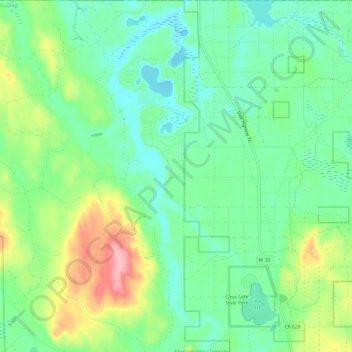
Name: Canada Creek Ranch topographic map, elevation, terrain.
Location: Canada Creek Ranch, Montmorency County, Michigan, 40709, USA (45.11400 -84.22886 45.19872 -84.17232)
Average elevation: 279 m
Minimum elevation: 242 m
Maximum elevation: 365 m