
Garden City topographic map
Interactive map
Click on the map to display elevation.
About this map
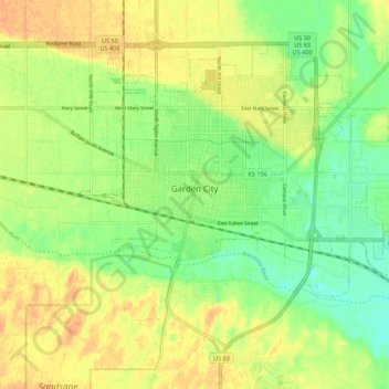
Name: Garden City topographic map, elevation, terrain.
Location: Garden City, Finney County, Kansas, 67846, United States (37.93694 -100.90168 38.00357 -100.79251)
Average elevation: 870 m
Minimum elevation: 852 m
Maximum elevation: 886 m
Garden City is at 37°58′31″N 100°51′51″W / 37.97528°N 100.86417°W / 37.97528; -100.86417 at an elevation of 2,838 feet (865 m). Located in southwestern Kansas at the intersection of U.S. Route 50 and U.S. Route 83, Garden City is 192 miles (309 km) west-northwest of Wichita, 204 miles (328 km) north-northeast of Amarillo, and 255 miles (410 km) southeast of Denver.