
Deming topographic map
Interactive map
Click on the map to display elevation.
About this map
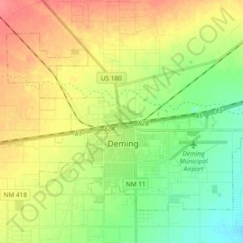
Name: Deming topographic map, elevation, terrain.
Location: Deming, Luna County, New Mexico, 88030, United States (32.23243 -107.82053 32.31250 -107.69091)
Average elevation: 1,327 m
Minimum elevation: 1,300 m
Maximum elevation: 1,358 m
Deming is located within the Upper Chihuahuan Desert climate zone. The climate is dry, hot, and breezy. Summer temperatures often exceed 100 °F (38 °C), but the altitude (4,300 feet (1,300 m)) and dry air sometimes make summer days more comfortable than one would expect given the high temperature.