
Opasatika topographic map
Interactive map
Click on the map to display elevation.
About this map
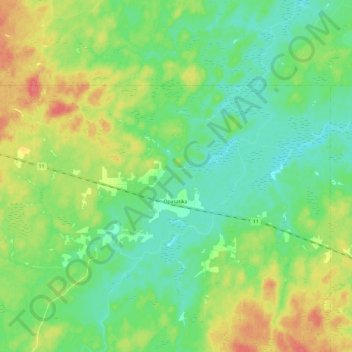
Name: Opasatika topographic map, elevation, terrain.
Location: Opasatika, Cochrane District, Ontario, P0L 1Z0, Canada (49.50000 -83.00000 49.57952 -82.76227)
Average elevation: 234 m
Minimum elevation: 216 m
Maximum elevation: 266 m
Other topographic maps
Click on a map to view its topography, its elevation and its terrain.