
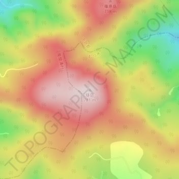
燧岳 topographic map
Interactive map
Click on the map to display elevation.
About this map
Name: 燧岳 topographic map, elevation, terrain.
Location: 燧岳, Mutsu, Préfecture d'Aomori, Tōhoku, Japon (41.43910 141.05286 41.43920 141.05296)
Average elevation: 576 m
Minimum elevation: 319 m
Maximum elevation: 770 m