
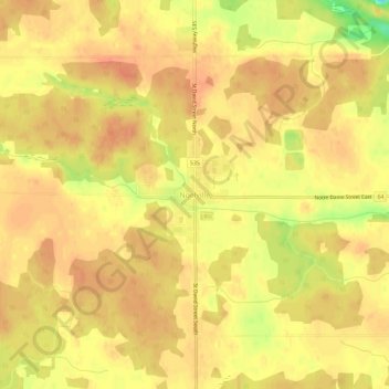
Noëlville topographic map
Interactive map
Click on the map to display elevation.
About this map
Name: Noëlville topographic map, elevation, terrain.
Average elevation: 219 m
Minimum elevation: 187 m
Maximum elevation: 229 m
Other topographic maps
Click on a map to view its topography, its elevation and its terrain.
Rangers Bay
Canada > Ontario > Sudbury District > French River
Rangers Bay, French River, Sudbury District, Northeastern Ontario, Ontario, P0M 1M0, Canada
Average elevation: 198 m
Upper Sturgeon Lake
Canada > Ontario > Sudbury District > French River
Upper Sturgeon Lake, French River, Sudbury District, Northeastern Ontario, Ontario, Canada
Average elevation: 211 m
Trout Lake
Canada > Ontario > Sudbury District > French River
Trout Lake, French River, Sudbury District, Northeastern Ontario, Ontario, Canada
Average elevation: 220 m