
Ayn Zalah topographic map
Interactive map
Click on the map to display elevation.
About this map
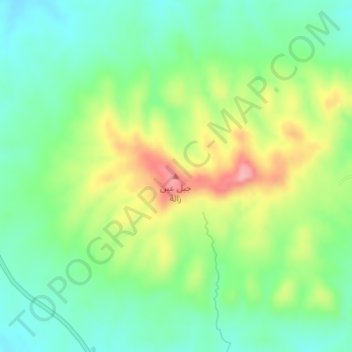
Name: Ayn Zalah topographic map, elevation, terrain.
Location: Ayn Zalah, Al Mnsul Qadha, Nineveh, Iraq (36.73689 42.56950 36.73699 42.56960)
Average elevation: 451 m
Minimum elevation: 403 m
Maximum elevation: 535 m
Other topographic maps
Click on a map to view its topography, its elevation and its terrain.