
Navy Island topographic map
Interactive map
Click on the map to display elevation.
About this map
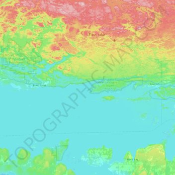
Name: Navy Island topographic map, elevation, terrain.
Average elevation: 237 m
Minimum elevation: 172 m
Maximum elevation: 465 m
Other topographic maps
Click on a map to view its topography, its elevation and its terrain.
The North Shore
Canada > Ontario > The North Shore
The North Shore, Algoma District, Northeastern Ontario, Ontario, Canada
Average elevation: 212 m