
Chilcoot topographic map
Interactive map
Click on the map to display elevation.
About this map
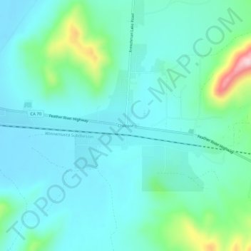
Name: Chilcoot topographic map, elevation, terrain.
Location: Chilcoot, Plumas County, California, USA (39.77768 -120.15965 39.81768 -120.11965)
Average elevation: 1,566 m
Minimum elevation: 1,512 m
Maximum elevation: 1,802 m