
Crossfield topographic map
Interactive map
Click on the map to display elevation.
About this map
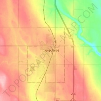
Name: Crossfield topographic map, elevation, terrain.
Location: Crossfield, Town of Crossfield, Alberta, T0M 0S0, Canada (51.38727 -114.07099 51.46727 -113.99099)
Average elevation: 1,102 m
Minimum elevation: 1,023 m
Maximum elevation: 1,159 m