
Lake City topographic map
Interactive map
Click on the map to display elevation.
About this map
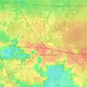
Name: Lake City topographic map, elevation, terrain.
Location: Lake City, Columbia County, Florida, United States (30.15517 -82.71055 30.24753 -82.60849)
Average elevation: 48 m
Minimum elevation: 24 m
Maximum elevation: 63 m