
Gerrard topographic map
Interactive map
Click on the map to display elevation.
About this map
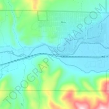
Name: Gerrard topographic map, elevation, terrain.
Location: Gerrard, Rio Grande County, Colorado, 81154, United States (37.65723 -106.61310 37.69723 -106.57310)
Average elevation: 2,556 m
Minimum elevation: 2,474 m
Maximum elevation: 2,814 m