
Lottsburg topographic map
Interactive map
Click on the map to display elevation.
About this map
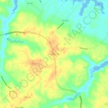
Name: Lottsburg topographic map, elevation, terrain.
Average elevation: 19 m
Minimum elevation: -1 m
Maximum elevation: 38 m
Other topographic maps
Click on a map to view its topography, its elevation and its terrain.
Heathsville
United States > Virginia > Northumberland County > Heathsville
Heathsville, Northumberland County, Virginia, United States
Average elevation: 23 m