
Centenary topographic map
Interactive map
Click on the map to display elevation.
About this map
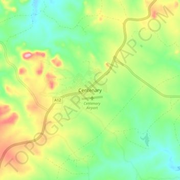
Name: Centenary topographic map, elevation, terrain.
Location: Centenary, Muzarabani, Mashonaland Central, Zimbabwe (-16.77054 31.08109 -16.69054 31.16109)
Average elevation: 1,199 m
Minimum elevation: 1,113 m
Maximum elevation: 1,339 m