
Parc régional du Mont-Ham topographic map
Interactive map
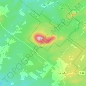
Click on the map to display elevation.
About this map
Name: Parc régional du Mont-Ham topographic map, elevation, terrain.
Average elevation: 354 m
Minimum elevation: 234 m
Maximum elevation: 695 m