
Aberdeen topographic map
Interactive map
Click on the map to display elevation.
About this map
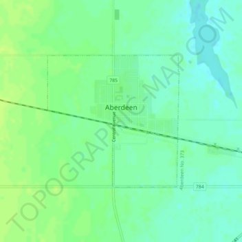
Name: Aberdeen topographic map, elevation, terrain.
Location: Aberdeen, Saskatchewan, S0K 0A0, Canada (52.31823 -106.30354 52.33295 -106.27952)
Average elevation: 518 m
Minimum elevation: 511 m
Maximum elevation: 525 m
Other topographic maps
Click on a map to view its topography, its elevation and its terrain.
Aberdeen
Canada > Saskatchewan > Aberdeen
Aberdeen, Census Division No. 15, Saskatchewan, S0K 0A0, Canada
Average elevation: 519 m