
Greenstone topographic map
Interactive map
Click on the map to display elevation.
About this map
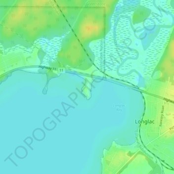
Name: Greenstone topographic map, elevation, terrain.
Location: Greenstone, Thunder Bay District, Ontario, Canada (49.78174 -86.55449 49.78519 -86.55164)
Average elevation: 316 m
Minimum elevation: 309 m
Maximum elevation: 331 m
Other topographic maps
Click on a map to view its topography, its elevation and its terrain.
Goddard Lake
Canada > Ontario > Greenstone
Goddard Lake, Road 801, Greenstone, Thunder Bay District, Ontario, Canada
Average elevation: 344 m
Burrows River
Canada > Ontario > Greenstone
Burrows River, Greenstone, Thunder Bay District, Ontario, Canada
Average elevation: 334 m