
Mahasingha topographic map
Interactive map
Click on the map to display elevation.
About this map
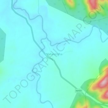
Name: Mahasingha topographic map, elevation, terrain.
Location: Mahasingha, Baliguda, Kandhamal, Odisha, 762103, India (20.13714 83.93443 20.17714 83.97443)
Average elevation: 557 m
Minimum elevation: 520 m
Maximum elevation: 777 m