
Ardath topographic map
Interactive map
Click on the map to display elevation.
About this map
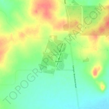
Name: Ardath topographic map, elevation, terrain.
Location: Ardath, Shire Of Bruce Rock, Western Australia, Australia (-32.04921 118.07436 -32.00921 118.11436)
Average elevation: 285 m
Minimum elevation: 259 m
Maximum elevation: 317 m