
Trout River topographic map
Interactive map
Click on the map to display elevation.
About this map
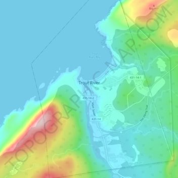
Name: Trout River topographic map, elevation, terrain.
Location: Trout River, Newfoundland and Labrador, Canada (49.46100 -58.14472 49.49623 -58.10426)
Average elevation: 65 m
Minimum elevation: -1 m
Maximum elevation: 311 m