
Stead topographic map
Interactive map
Click on the map to display elevation.
About this map
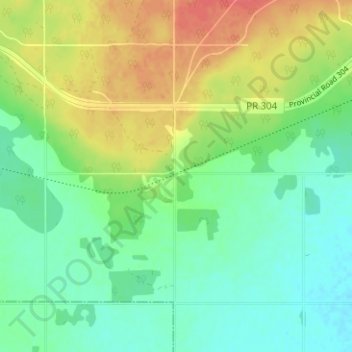
Name: Stead topographic map, elevation, terrain.
Location: Stead, Alexander, Manitoba, Canada (50.40965 -96.46512 50.44965 -96.42512)
Average elevation: 255 m
Minimum elevation: 234 m
Maximum elevation: 288 m