
Nanguneri topographic map
Interactive map
Click on the map to display elevation.
About this map
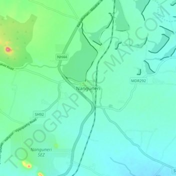
Name: Nanguneri topographic map, elevation, terrain.
Location: Nanguneri, Tirunelveli District, Tamil Nadu, 627108, India (8.44926 77.61967 8.52926 77.69967)
Average elevation: 92 m
Minimum elevation: 70 m
Maximum elevation: 191 m
Nanguneri is located at 8°29′N 77°40′E / 8.48°N 77.67°E / 8.48; 77.67. It has an average elevation of 141 meters (462 feet).