
Battle Creek topographic map
Interactive map
Click on the map to display elevation.
About this map
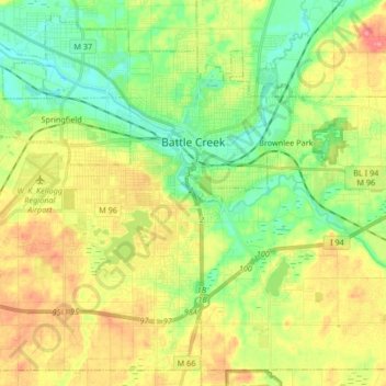
Name: Battle Creek topographic map, elevation, terrain.
Location: Battle Creek, Calhoun County, Michigan, United States (42.24613 -85.29789 42.35943 -85.13195)
Average elevation: 274 m
Minimum elevation: 243 m
Maximum elevation: 316 m