
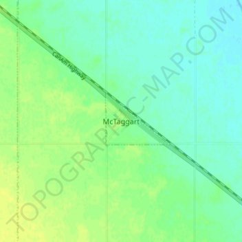
McTaggart topographic map
Interactive map
Click on the map to display elevation.
About this map
Name: McTaggart topographic map, elevation, terrain.
Location: McTaggart, Saskatchewan, Canada (49.71024 -104.03258 49.75024 -103.99258)
Average elevation: 575 m
Minimum elevation: 568 m
Maximum elevation: 583 m