
Kent Narrows topographic map
Interactive map
Click on the map to display elevation.
About this map
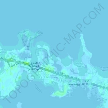
Name: Kent Narrows topographic map, elevation, terrain.
Location: Kent Narrows, Queen Anne's County, Maryland, United States (38.95952 -76.25847 38.98891 -76.21943)
Average elevation: 0 m
Minimum elevation: -6 m
Maximum elevation: 9 m